
| Tel:010-60608200 | ||
| Service: |

|
|
Acceptance and training of the GNSS-R system in Dalian
|
On Dec.05, 2013, our technical engineers went to a famous university in Dalian to carry out an acceptance and training of the GNSS-R system which the university purchased from our company. In the two days of training, our technical engineers introduced the GNSS-R system and its usage in detail, then they installed, tested and demonstrated its function in the laboratory and dock separately. After the experiment, we discussed some professional technical knowledge and our future cooperation. In the afternoon of Dec.06, we finished the acceptance and training smoothly. GNSS-R is a mature technology, which is widely used in the ocean field. We make use of the delay between GNSS direct signal and reflected signal to detect the sea state and retrieve sea surface height, significant wave height and the thickness of sea ice. Another important application is GNSS-R can be used as a ocean scatterometer, we can measure the sea surface wind field, the sea surface roughness and ocean salinity and any other data by measuring the scattering between the sea surface and the GNSS signals, it provides abundant resources and stable signal for ocean observation. On the land application, GNSS-R is mainly used for inland water monitoring and soil moisture retrieving, vegetation height retrieving, snow depth measurement and topographic survey, etc. Below photos show the reality test which was completed by our technical engineers and the university team together on the dock. 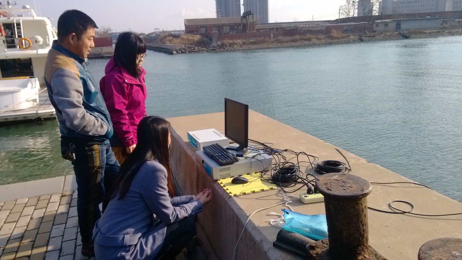 |